Our Radar.
Your Advantage.
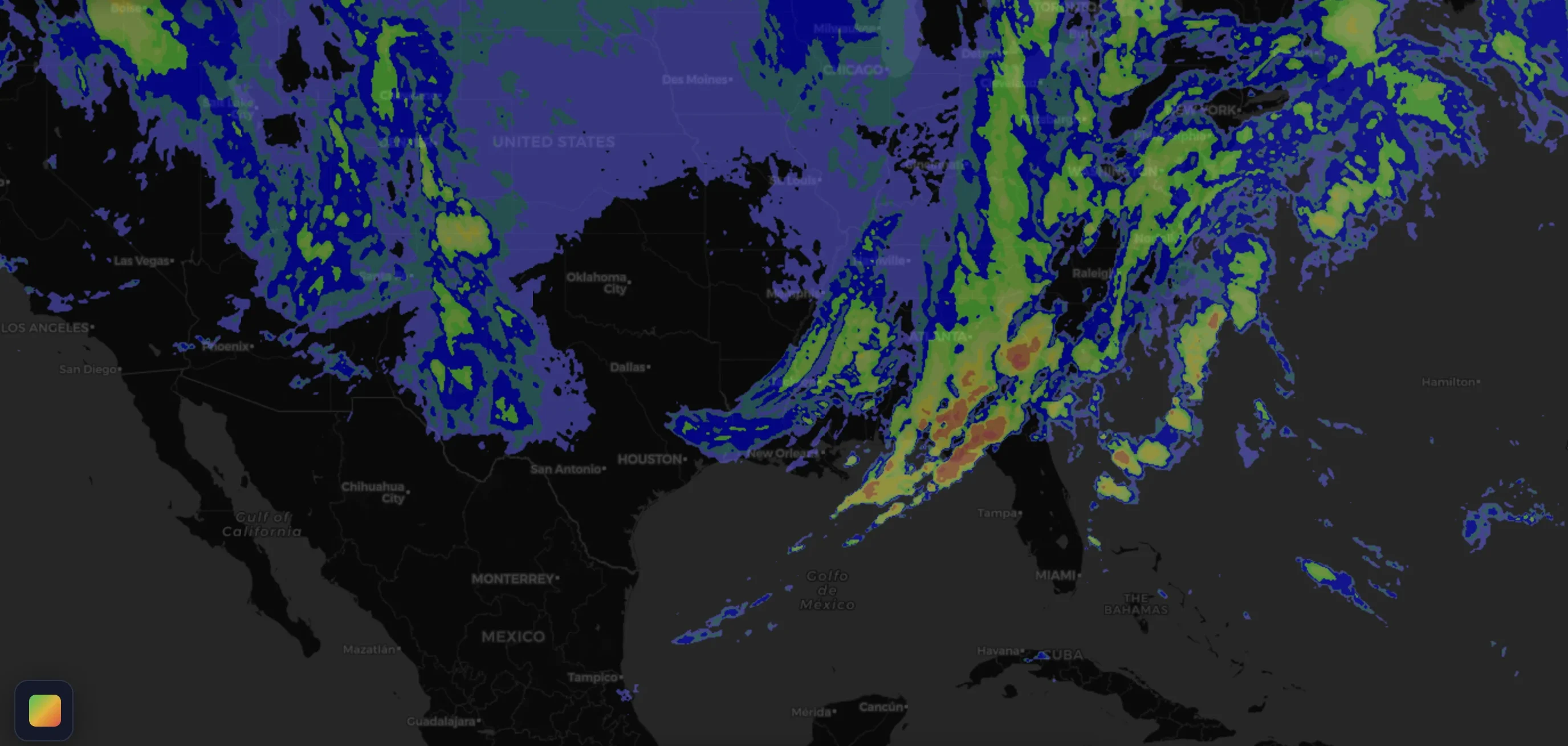
From GOES-R Series satellite to your screen within minutes. The only independently-built weather radar covering the entire Americas, developed entirely by Contingencias.
How our radar
reaches you
A fully proprietary pipeline — no third-party radar providers.
GOES-R Series Satellite
Raw imagery captured every few minutes from NOAA's GOES-R Series geostationary satellite.
Geospatial Processing
Advanced geospatial processing transforms raw data into calibrated precipitation maps with 16 intensity levels.
Tile Server
Our custom tile server generates ~87,000 tiles per image with minimal latency, covering zoom levels 4 to 12.
Your Screen
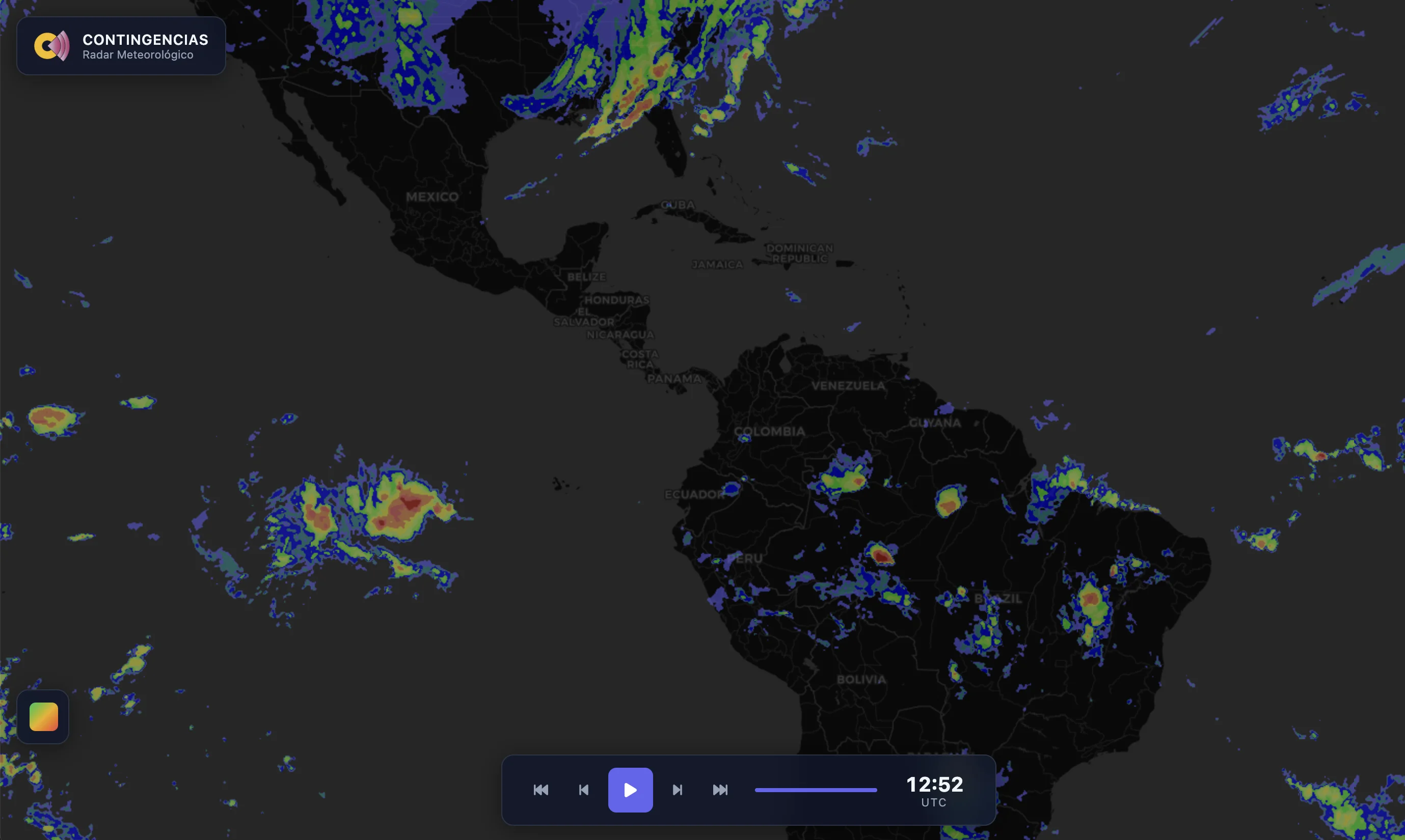
Interactive map with timeline playback and layer controls, available on the app and on the web.
From Alaska to
Patagonia
Full continental coverage across North America, Central America, South America, and the Caribbean.
Outside the Americas? Don't worry — for the rest of the world, Contingencias integrates RainViewer data, providing global radar coverage and hail detection.
Access the radar
your way
Mobile App
Full radar experience with push alerts and widgets. Available for premium users.
Web Radar
Access the radar directly in your browser at map.contingencias.app. Available for premium users.
Ready to see the radar in action?
Join thousands of professionals who rely on our proprietary radar to protect their crops, construction, and outdoor activities.